Projects
A significant amount of primary data obtained during work on other projects will be analyzed in the laboratory of paleoecological reconstructions. In this section, you can find the leading research projects of the Megagrant participants.
Development of parameterization of mountain glaciation for Earth System Models
Implementation period: 2023-2025
The range of tasks related to climate change in the past, present and future remains one of the highest priority areas of world science, formulated in the form of several areas of UN activity. Therefore, in recent decades, climate models have been developing especially intensively. In addition to a detailed physical and mathematical description of the main blocks of the climate system (ocean, atmosphere, large ice sheets), modern climate models already reproduce in sufficient detail the main processes occurring in the hydrosphere, biosphere, and the land surface layer. Such mofdels are usually called Earth System Models (ESM). Taking into account the trends in the development of climate modeling, it seems appropriate to introduce parameterization of mountain glaciation into modern ESM. The project is aimed at developing a simple but physically correct one-dimensional model of a mountain glacier, taking into account the most important processes of interaction between the ice surface and the atmosphere, and tested on mountain glaciers, provided with meteorological and glaciological measurements. Based on the available satellite information on the morphometric parameters of most of the mountain glaciers, it is proposed to generalize the results of modeling for the main mountain-glacier regions of Russia (Caucasus, Altai, Kamchatka), and in the future for the entire Earth. The created scheme will form the basis for the parameterization of mountain glaciation within the INM RAS Earth System Model. This parameterization will help to take into account the snow-ice component of the river runoff, which is formed in the mountain-glacier regions; assess the reaction of mountain glaciation to future climate change (which is especially important in arid regions of the Earth); to assess the dynamics of mountain glaciation in the climatic past, as well as to identify the possible influence of large mountain glacial massifs on the regional climate.
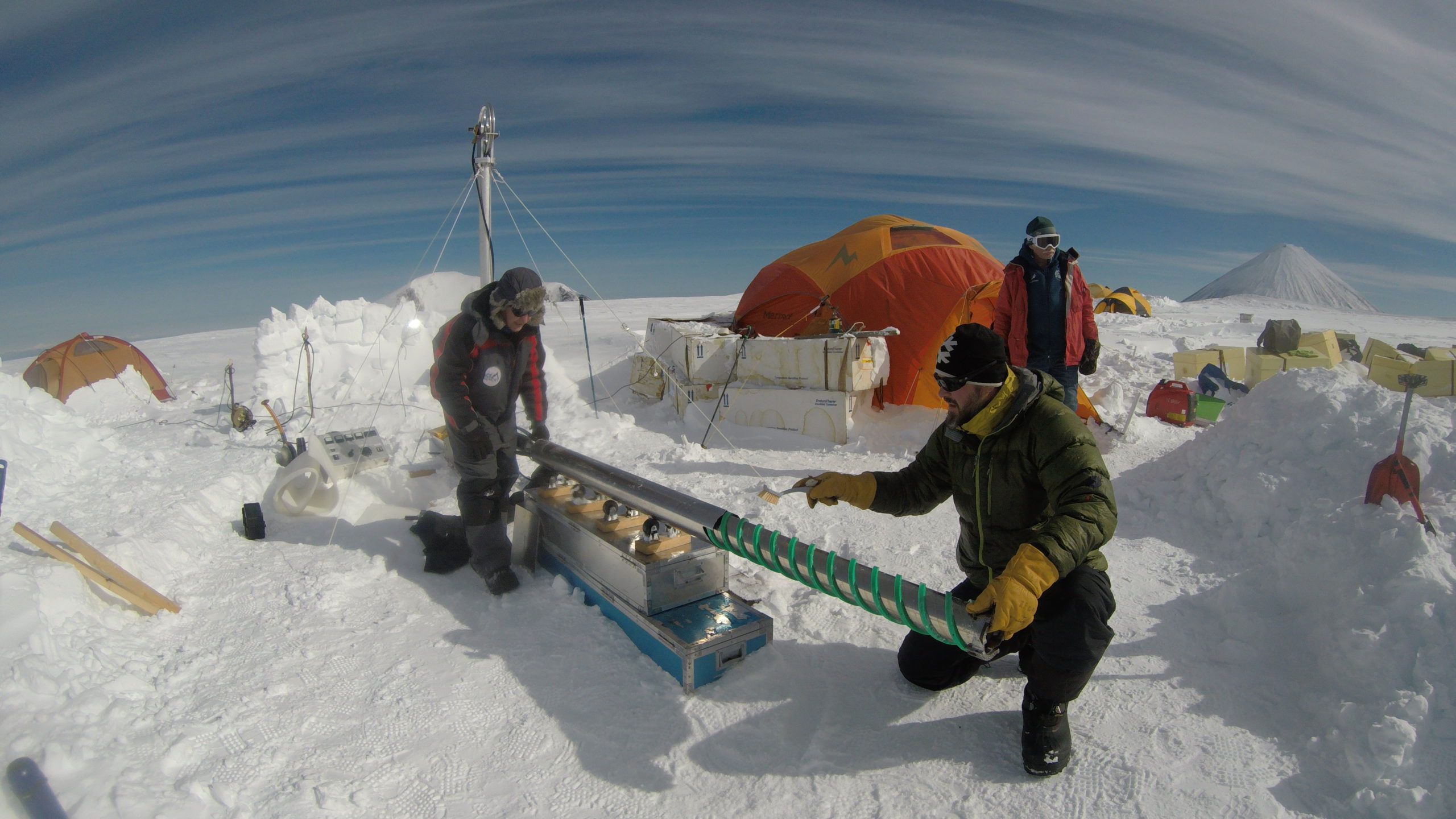
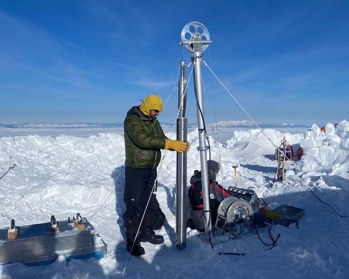
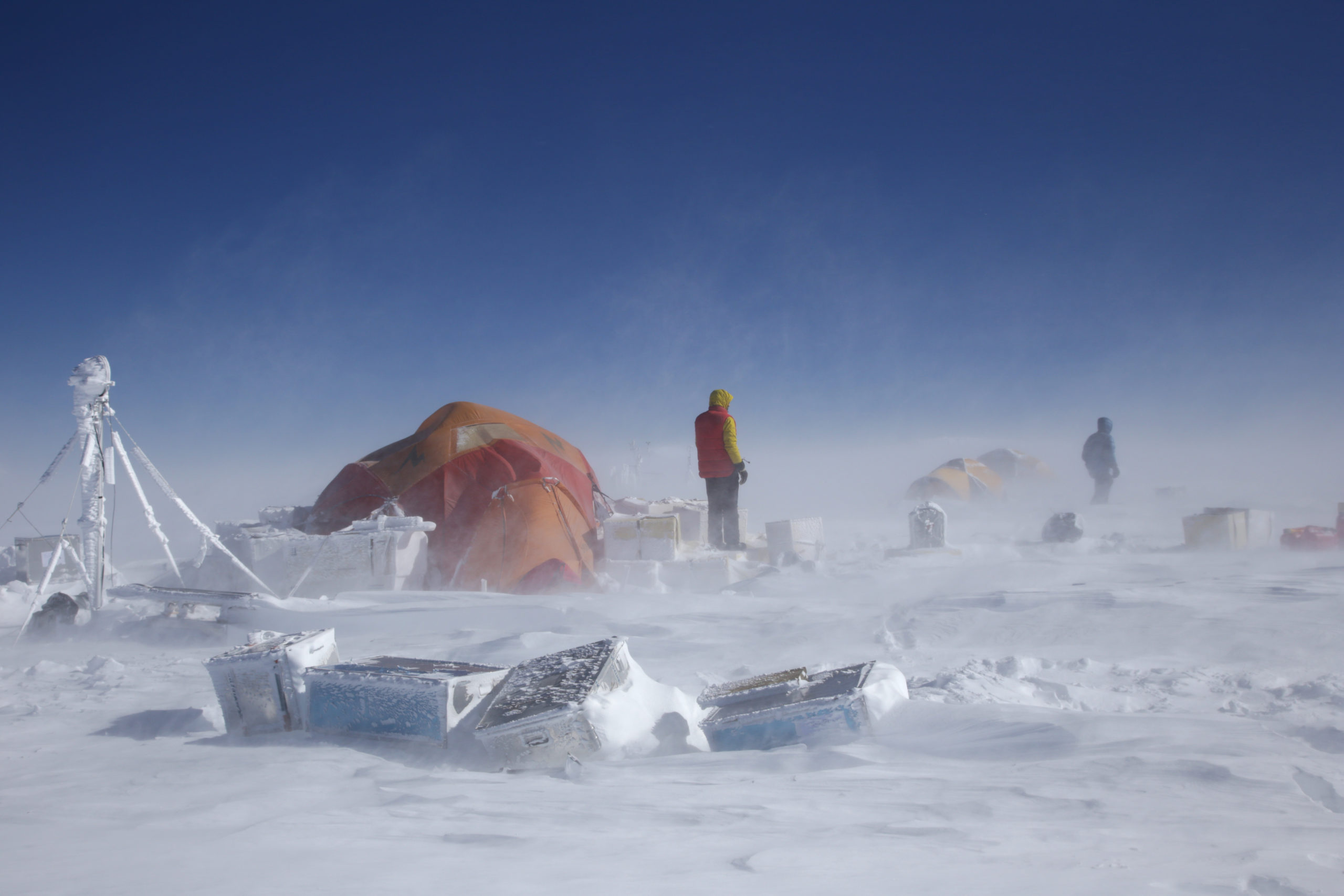
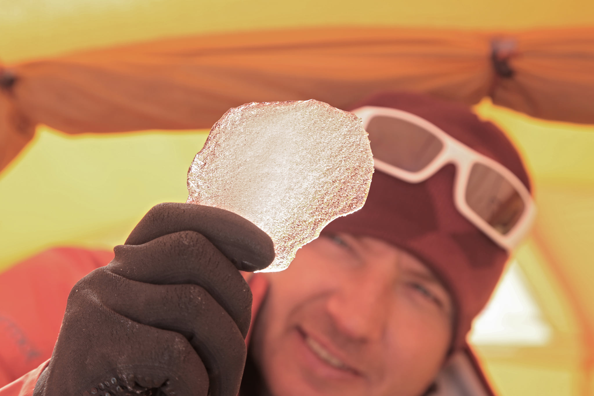
Last millennium environmental reconstruction in Kamchatka from the new ice core and other proxies
Implementation period: 2022-2024
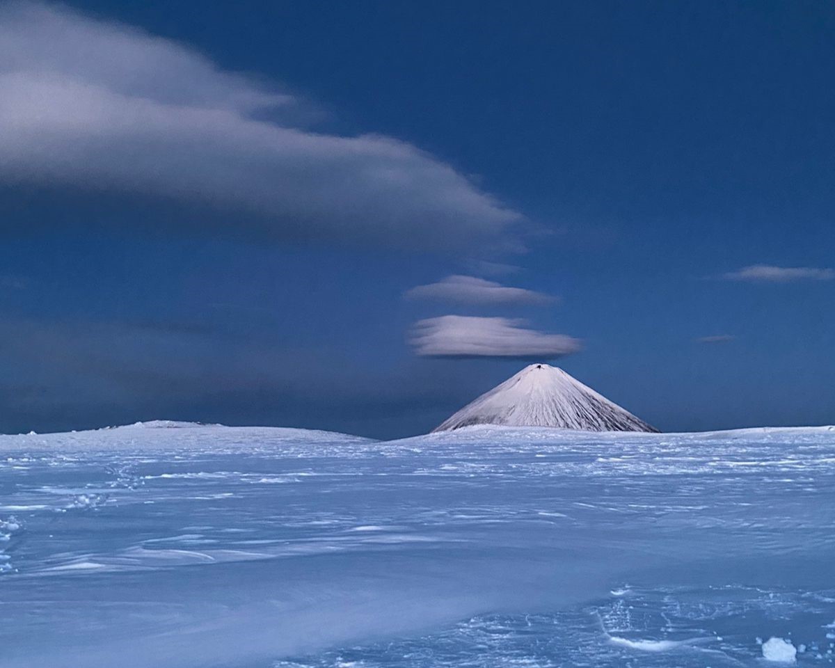
Glaciers in Kamchatka, are more prone to destructive melting in response to global warming than in other high mountain areas. The most suitable location for deep ice core drilling in Kamchatka is the ice cap of the Gorshkov crater in the Ushkovsky volcano massif, where summer melt and melt water infiltration are significantly limited, and the flat glacier surface makes it fairly easy to estimate the age in the deep layers of the glacier using the ice flow model Ice cores from Kamchatka glaciers remain much less studied from the point of view of studying the environment in comparison with high-mountain cores obtained in the Alps, the Caucasus and Altai.
Kamchatka is of great scientific interest in terms of studying boreal forest fires in Siberia and their recurrence due to changes in weather conditions (increased summer convective activity and the formation of lightning, a decrease in winter snow cover).
The region is very well studied in terms of tephrochronology, but this method still has great potential for dating other than volcanic (eg glacial) deposits. In climate reconstructions based on tree-ring chronologies, larch, spruce, and birch were used, but for this region, longer chronologies based on using a fin. In climate reconstructions based on tree-ring chronologies, larch, spruce, and birch were used, but for this region, longer chronologies based on using a fin. Opportunities for improving the climatic signal in tree rings exist based on the optical density measurement method used in our group.
For the first time, high-resolution reconstructions of climate and environmental changes will be combined based on all available data: ice core, tephra deposition, dendrochronological studies, and lake sediments.


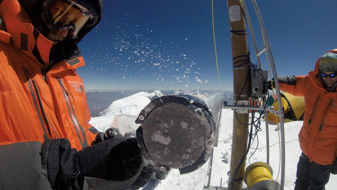
Climate and environmental reconstructions over the last millennium from Mt. Elbrus ice cores in the Northern Caucasus and southern part of European Russia
Implementation period: 2020-2021
High-mountain paleoclimatic archives are catastrophically disappearing as a result of the intensive modern warming, degradation of glaciers, and the growing anthropogenic burden. In the framework of this project, the North Caucasus ice cores will be obtained and stored in the paleoclimatic data repository, created for this purpose. One part of the archive will be stored for future research, whereas the other part will be analyzed employing modern analytical methods.
The ice cores will be analyzed for the isotopic and chemical composition, the concentration of microparticles, and black carbon with the following reconstruction of air temperature, atmospheric precipitation, atmospheric pollution, and regional volcanic activity based on that data. Climate models developed during the last decade are employed to gain an understanding of the dynamics of climate over the last millennium. The newly obtained indirect paleoclimatic data for the North Caucasus will be compared with the results of the numerical climate modeling within the framework of PMIP3/CMIP5 programs.
Climate variability will be analyzed for the last millennium, more specifically, it is expected to consider the pre-industrial period (1750-1900 AD) and the last 50 years separately based on the data of the NCEP/NCAR, ERA-INTERIM, CFSR reanalysis. Based on the comparison of simulation results for the selected time intervals we will obtain quantitative estimates of the relative contribution of natural and anthropogenic factors to the climatic regional variability in the North Caucasus. The question of the precipitation genesis in the mountainous areas of North Caucasus will be examined separately.
The major focus of the project will be on the study of warm periods and periods of “undisturbed” climate, which will allow to better understand and explain the magnitude of the modern warming, the retreat of the glaciers, the anthropogenic impact, and other related natural processes occurring in the North Caucasus at present. The only in Europe and in southern Russia glacial archive of paleoclimatic data, covering the last 2000 years, will be preserved and studied as a result of the implementation of this project. The data obtained over the course of this project will allow for the first time to precisely reconstruct the amount of precipitation, the composition of atmospheric aerosols, the repeatability of dry periods, the history of air pollution for the North Caucasus and the adjacent region.


Climate variability in the Russian Plain over the last millennium based on dendroclimatology and climate modeling: reconstruction, comparison, forecast
Implementation period: 2021-2023
The project aims to address the problem of detailed understanding of climate changes in the Russian plain over the past Millennium and the contribution of natural and anthropogenic components to these changes. Its solution is important for understanding of the functioning of the Earth’s climate system and predicting the global and regional climate. The project is based on the reconstruction of hydrometeorological parameters on the Russian plain based on dendroclimatology and mathematical modeling.
As a result of the project, a network of long-term (500-1000 years) continuous regional chronologies will be created in terms of width, optical and anatomical density and δ13C isotopic composition of wood with absolute time reference through samples of living trees and based on wood from archaeological collections and architectural monuments. These chronologies will be used to reconstruct the air temperature in several key regions (the North of the Russian plain, the Kostroma and Yaroslavl regions, the Moscow and Kaluga regions, the Volga region, etc.) and create spatial reconstructions for the entire region. The method developed by the project leader for direct (without standardization) reconstruction of climate parameters based on dendrochronological data DIRECT (Matskovsky, Helama, 2016) will be used for reconstructions of climate parameters.
An important component of the project will be the preservation of unique samples that carry information about environmental changes in the past. These samples can be used in the future for new types of analysis. Considering the large-scale reconstruction of wooden architecture monuments, as well as the destruction of many of them, this task is not only of great scientific, but also of socio-cultural significance. All the goals set in this project are achievable through the efforts of our group, which has the necessary qualifications, equipment (including the Center of Collective Use of IGRAS) and a large array of dendrochronological data collected in recent decades.


Dust flux in Ciscaucasia for the last 250 ka: sources, accumulation rates, forcings
Implementation period: 2021-2024
Mineral dust aerosol is correlated with the climate’s condition on the Earth in general and specific planet’s regions. The dust accumulation in environmental paleoarchives (loess, lacustrine, glacial) reflects the intensity of aeolian processes and the climate’s humidity. In the south of European Russia, in the Ciscaucasia, there are vast areas of loess deposits that continuously cover the territory from the Sea of Azov to the Caspian Lowland.
he Ciscaucasian loess formation generated by the mineral dust sedimentation over the past 500-800 thousand years. The total thickness of these deposits can reach 150-200 meters, and the thickness of the Upper Pleistocene loess in the east of the region reaches 50 meters, which is a record for European loess. Such high sedimentation rates make it possible to provide highly detailed paleoreconstructions based on serial luminescence dating and lithological and geochemical analyses complex use. But the composition of loess and its thickness is heterogeneous across the territory. This heterogeneity is the key to understanding the sources of dust (areas of deflation).
During the project realization, we plan to study the structure, material composition and precise age of the loess-paleosol series in the interval of the last 250 thousand years at seven key sites on the west, central, and east parts of the region. Luminescent dating of the samples (at least 7 per site) and a series of lithological and geochemical studies of samples taken at least every 10 cm are supposed to get done. For Holocene loess in the east of the region, the detail of testing in cores suppose to be every 2 cm. The study of lake-marsh paleoarchives will support the identification of extreme Holocene aeolian events.
As a result of the study, we suppose to calculate the dynamics of loess accumulation rates at different stages, determine the sources of dust, identify regional litho-geochemical markers, clarify and detail the scheme of loess-paleosol stratigraphy, link the history of loess accumulation with paleogeographic events in marine basins, correlate with global scales, and verify existing paleoclimatic models.


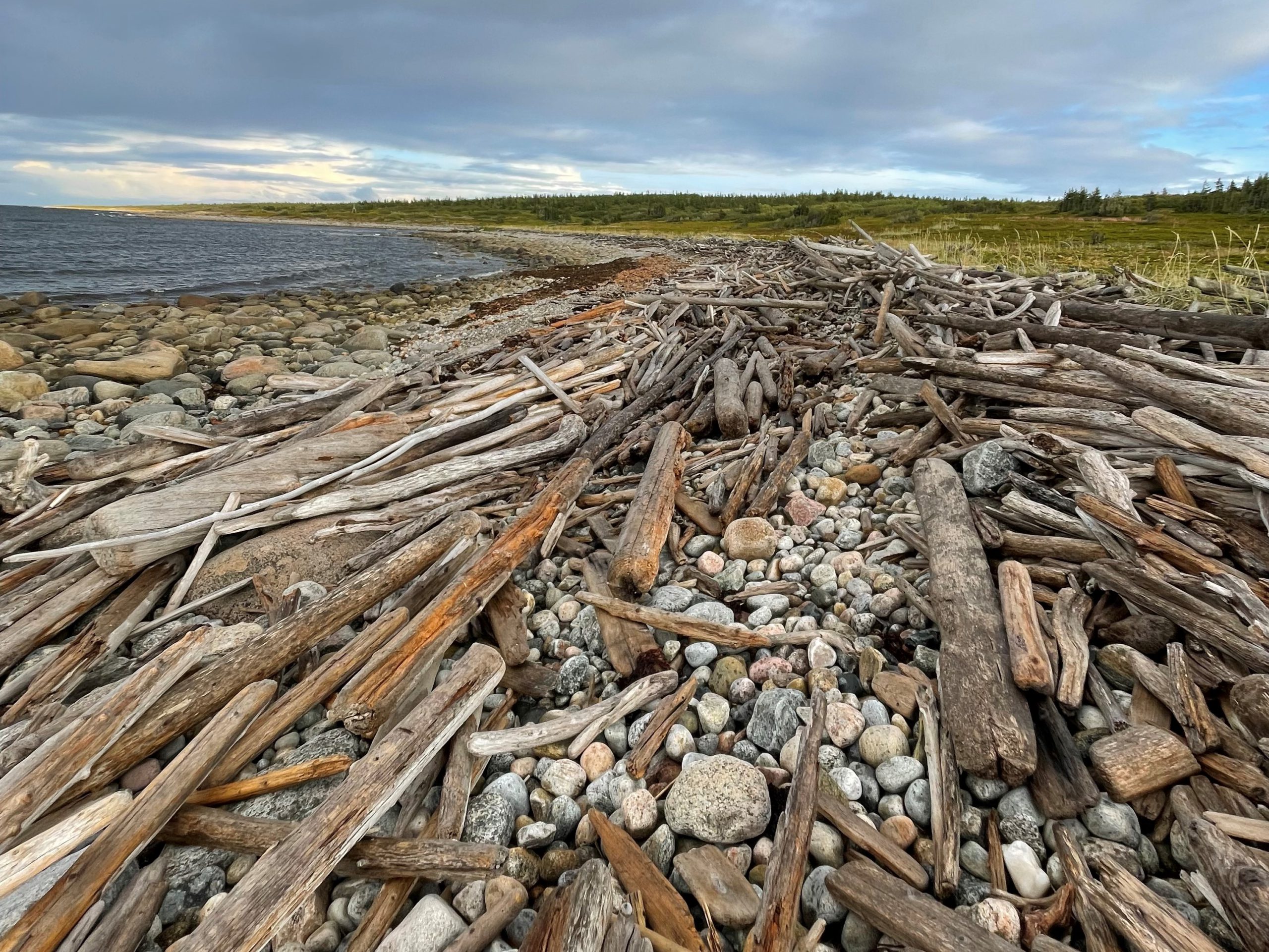
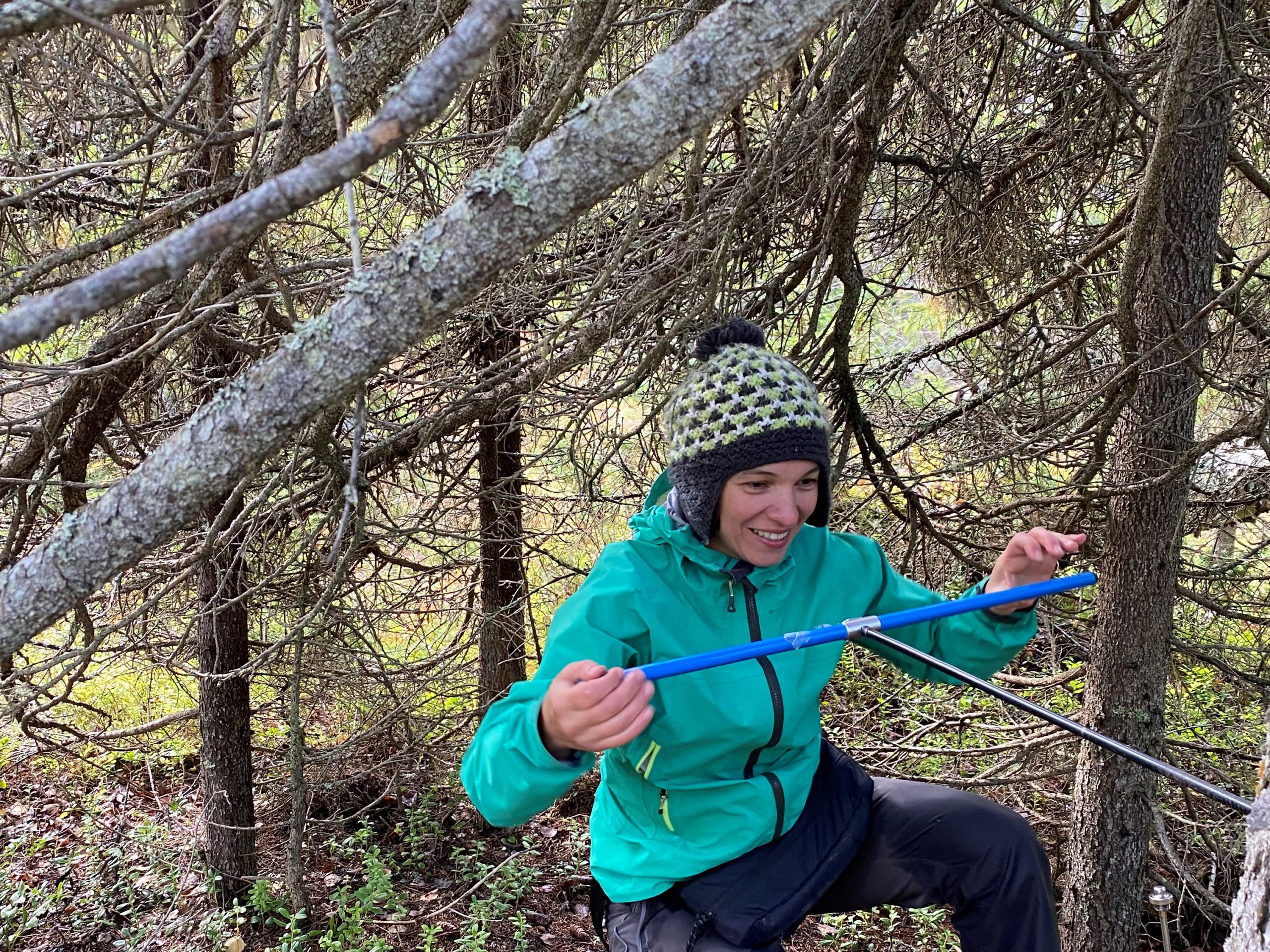
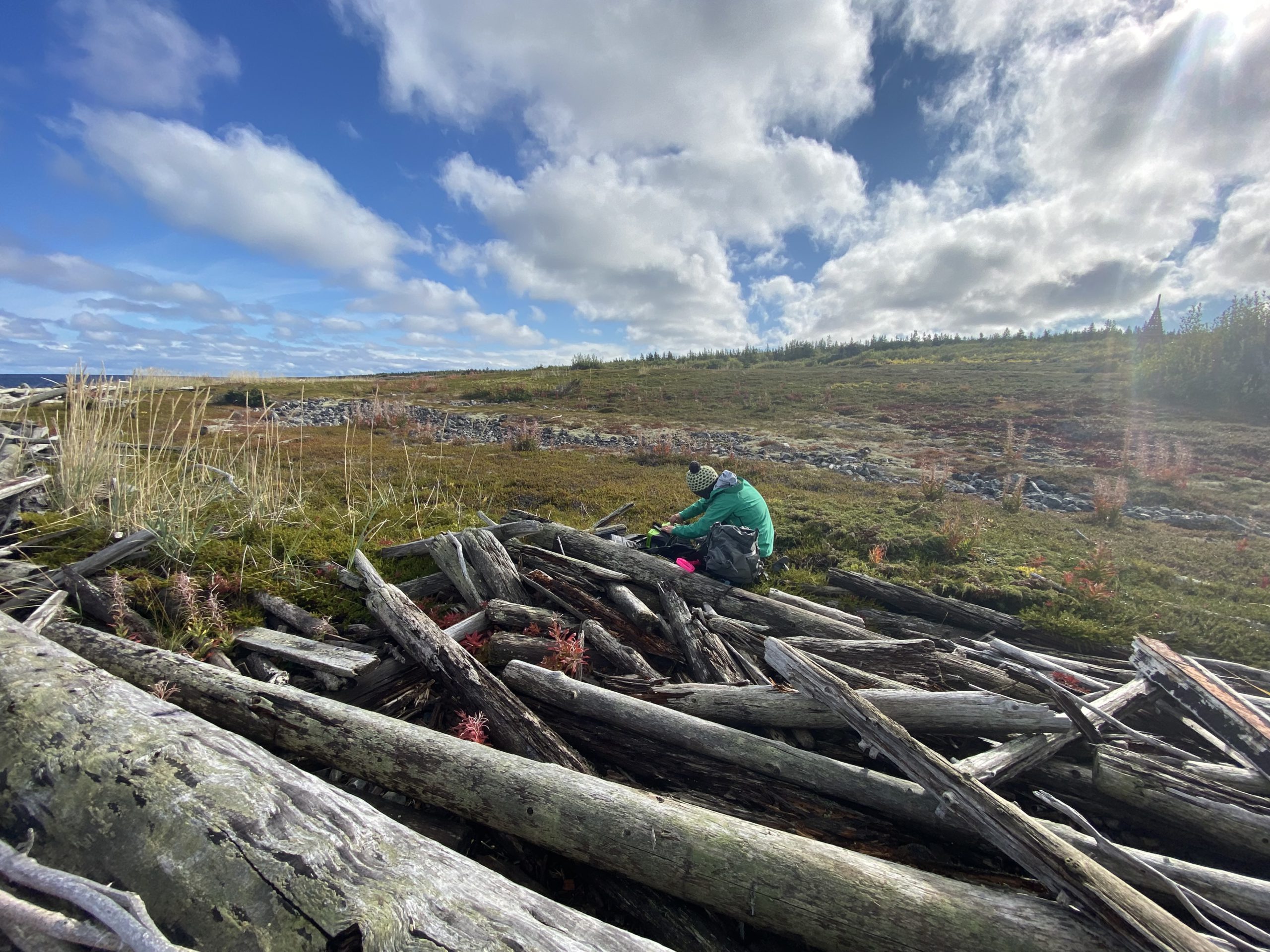
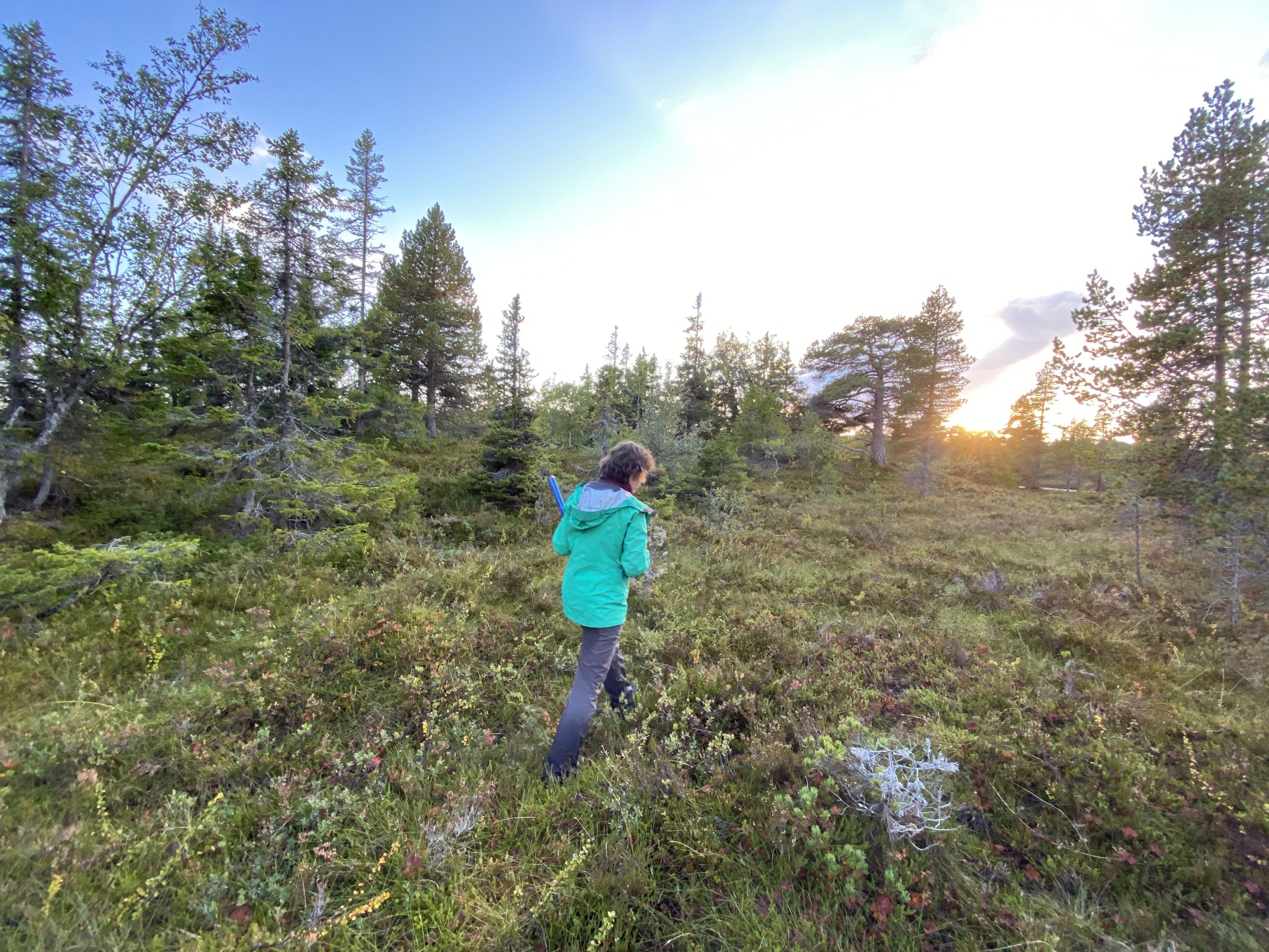
Climate reconstruction based on millennia long tree-ring data from Solovki Island
Implementation period: 2020-2022
The project’s primary goal is to obtain a millennia-long reconstruction based on the Blue Intensity (BI) of conifers growing on the Solovetsky archipelago. Particular attention in the project is paid to the search for old-growth wood, the measurement of which significantly improves the replication in the early period of the chronology.
Based on more than 300 series of Blue Intensity measurements, for the first time in Russia, we developed a chronology lasting 1128 (888-2016 CE).
Essential conclusions were obtained about the climatic response, in terms of the width and optical density of the rings of conifers, about the possibility of dating the fin, etc. Continuing the work in the direction we have begun, we expect to receive new important information about the past climate. Comparison of the obtained reconstruction of the summer temperature with other series on the past climate available for the Arctic speaks in favor of the fact that deviations were observed in the dendrochronological series before 1500.
According to dendrochronological data, the main result of our research will be the reconstruction of summer air temperatures in Solovki for the last millennium. This result already corresponds to the world level in the field of dendroclimatic study. Our renovation has several advantages over others. First, the most significant feature is the close relationship between optical density and summer temperature. The correlation coefficient reaches 0.75, which is quite rare in dendroclimatic reconstructions. Secondly, the chronology of optical density itself begins in 888. We achieved this duration due to the inclusion of measurements of the optical density of the fin.
The relevance of our work is also due to the rapid warming in the Arctic, which leads to changes in ecosystems. An analysis of changes in the width or density of the rings in boreal forests around the world could form the basis for the multi-year monitoring initiated by the project.